A quiet Sunday morning bulletin from atmospheric scientists carried news that has sparked considerable discussion in meteorological circles: a polar vortex disruption of exceptional magnitude is developing high above the Arctic, with forecasters describing it as nearly unprecedented for the month of February. This complex atmospheric phenomenon represents a significant departure from typical winter patterns and carries implications for weather systems across vast stretches of the Northern Hemisphere.


Understanding the Polar Vortex
The polar vortex represents one of Earth’s most powerful atmospheric features, a massive circulation of cold air that typically remains confined to the Arctic stratosphere during winter months. This circulation pattern usually strengthens as temperatures plummet across the Arctic region, creating a natural barrier that keeps frigid air locked in high northern latitudes. The vortex itself extends from roughly 50,000 to 80,000 feet above sea level, occupying the stratosphere where most commercial aircraft never venture.
Under normal winter conditions, this vortex acts like a protective seal, preventing polar air masses from descending into the mid-latitudes where most populated regions exist. Scientists have monitored this phenomenon for decades, establishing baseline patterns that help them predict winter weather months in advance. However, the current atmospheric setup developing for February suggests conditions far outside historical norms.
What Makes This Disruption Extraordinary
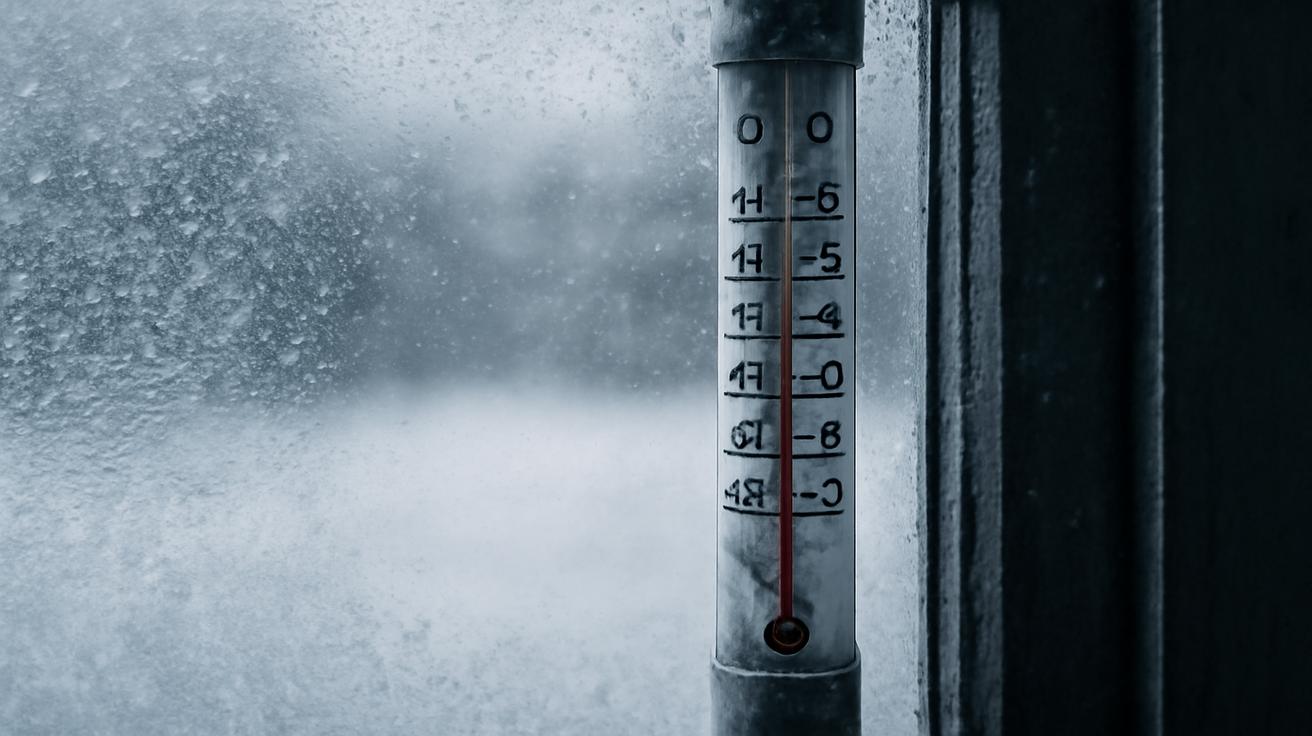
The disruption detected by meteorological agencies involves a sudden stratospheric warming event, technically known as a Sudden Stratospheric Warming (SSW). This process occurs when the normal circulation pattern in the Arctic stratosphere dramatically weakens or even reverses entirely. During such events, temperatures in the stratosphere can spike by 50 degrees Fahrenheit or more within just a few days—an astonishing change for such a high altitude.
What distinguishes February’s predicted event is its magnitude and timing. While sudden stratospheric warming events do occur periodically, experiencing one of this scale during February remains statistically rare. Most pronounced disruptions typically develop during January or early winter, making a February event of this intensity worthy of special attention from climate researchers and forecasters alike.
The mechanics behind this disruption involve atmospheric waves originating from lower altitudes, essentially the troposphere where weather occurs. These waves propagate upward, interacting with the polar vortex and gradually destabilizing it. In extreme cases like the one developing, the vortex can split into multiple smaller circulation centers or weaken so substantially that its structure essentially collapses.
Tracking the Atmospheric Signals
Meteorologists first detected early warning signs of this disruption through satellite monitoring and computer models that analyze atmospheric pressure patterns. Specialized instruments measuring ozone concentrations and temperature profiles in the upper atmosphere provided crucial data confirming the developing scenario. These measurements, combined with sophisticated numerical weather prediction models, painted a picture of increasingly unstable conditions aloft.
The forecast uncertainty surrounding such extreme events remains considerable, which explains why meteorological agencies issue advisories rather than absolute predictions. Models sometimes struggle with the precise timing and intensity of stratospheric disruptions, though scientists have made substantial improvements in recent years through advanced computing and better understanding of the underlying physics.
International weather centers, including those in Europe, Asia, and North America, have all independently confirmed the presence of these destabilizing signals. The consensus among major forecasting institutions strengthens confidence that something significant will indeed unfold across the Arctic stratosphere during February.
Downstream Weather Implications
The critical question on many meteorologists’ minds concerns what happens when a stratospheric disruption of this magnitude occurs: how might it affect surface weather patterns where people actually live and work? This connection between the stratosphere and troposphere, while scientifically established, remains imperfectly understood and often difficult to predict with precision.
In some cases, a disrupted polar vortex leads to a weakening of the jet streams—those fast-moving rivers of air that guide weather systems across continents. A weakened jet stream can meander more dramatically, potentially bringing Arctic air much farther south than usual. Conversely, warm air masses can sometimes surge northward into regions accustomed to deep winter cold. These pattern shifts can persist for days or even weeks, creating extended periods of anomalous weather.
Other disruptions produce more muted surface impacts, with the effects remaining largely confined to the upper atmosphere. Forecasters examine multiple model scenarios and historical analogues—previous disruptions with similar characteristics—to estimate the probability of various surface weather outcomes. This process, while grounded in physics, necessarily incorporates substantial uncertainty ranges.
Historical Context and Climate Considerations
Scientists studying polar vortex disruptions have compiled detailed records extending back several decades. Notable recent examples include the exceptionally strong disruption in January 2009, which produced widespread extreme cold across North America and Europe. Another dramatic event occurred in March 2016, though arriving later in winter. Each event taught meteorologists something new about how the atmosphere responds to these extreme perturbations.
The frequency and intensity of polar vortex disruptions exist within the bounds of natural climate variability, though some research suggests that long-term climate change may be subtly altering these patterns. Warming Arctic temperatures and diminishing sea ice cover create a fundamentally different environment in which the polar vortex must operate. Future research will likely reveal whether these disruptions are becoming more or less common as the climate system continues evolving.
Preparing for Uncertainty
Forecasters and emergency management officials understand that dramatic atmospheric events require special communication efforts. Issuing alerts too early may lead to public fatigue and ignored warnings, while issuing them too late leaves insufficient time for preparedness. The February polar vortex disruption presents exactly this challenge, occurring at a time when winter weather can still produce significant impacts but remains months away from spring’s arrival.
Atmospheric scientists continue refining their models and monitoring satellite data continuously. As February approaches, predictions should become increasingly confident regarding what will actually occur. For now, meteorological agencies maintain elevated alerts while emphasizing that precise impacts remain to be determined.
This extraordinary Arctic phenomenon reminds us that Earth’s atmosphere operates according to physical principles we continue learning about, and that even in our modern age of advanced technology, nature retains the capacity to surprise us.


Leave a Comment